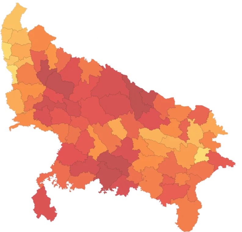
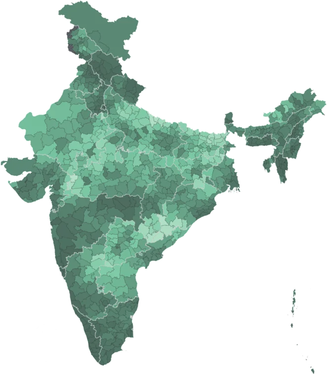
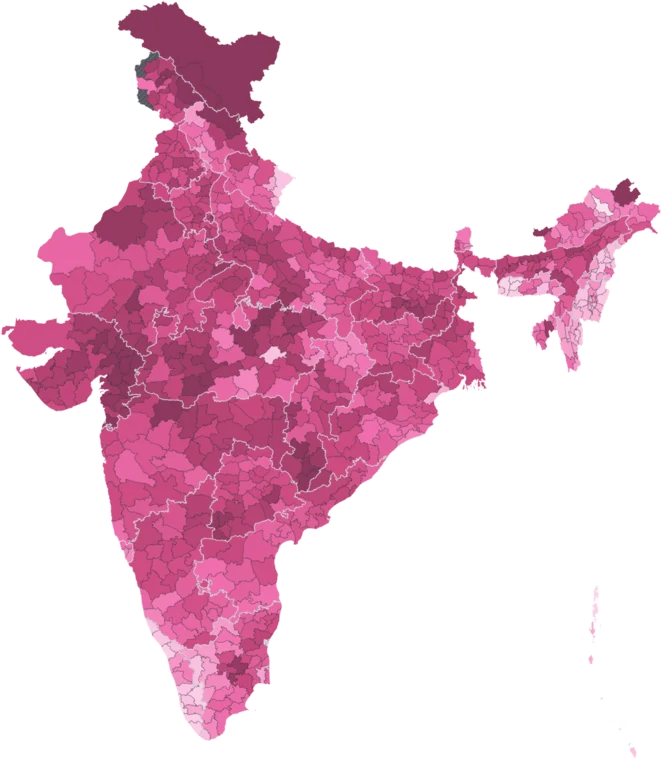
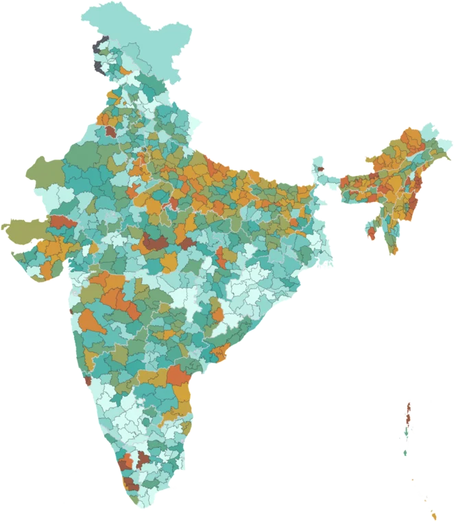
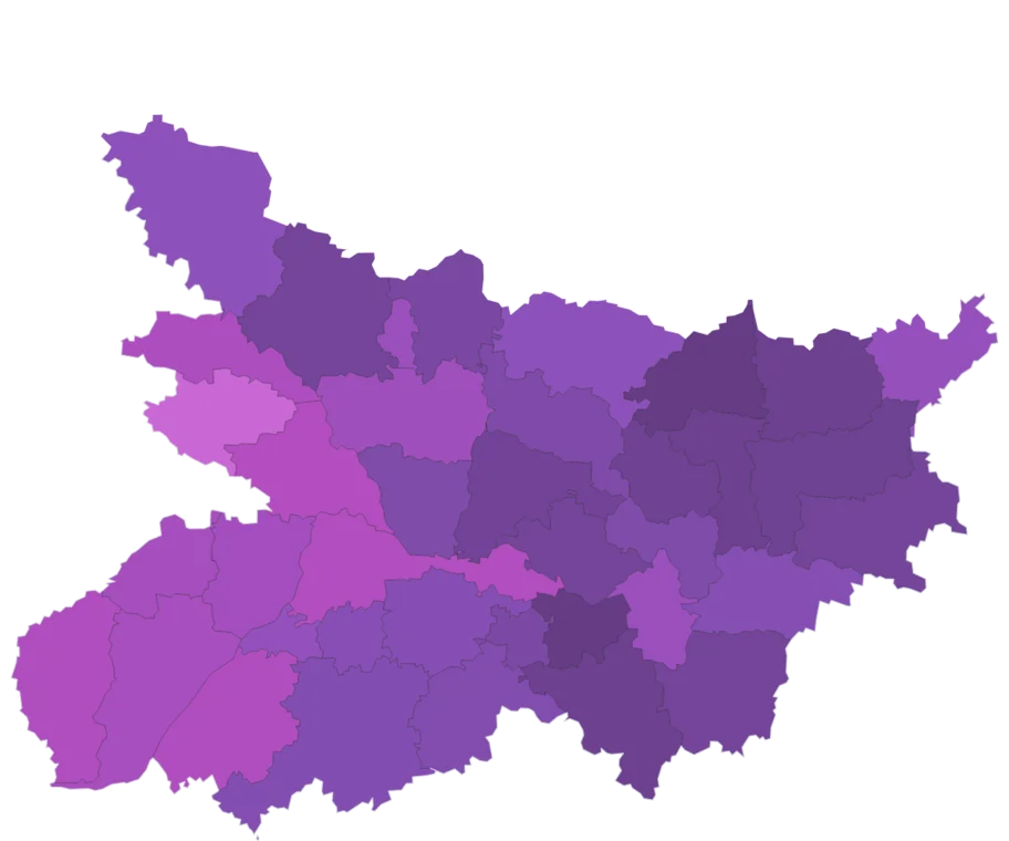
Climate Vulnerability Index by district
Composite index of climate vulnerability combining exposure, sensitivity, and adaptive capacity. Higher values indicate greater vulnerability.
- National
- 0.56
- a plain mean of districts
- Highest district
- 1.32
- Balrampur, Uttar Pradesh
- Lowest district
- 0.07
- East Khasi Hills, Meghalaya
- Districts measured
- 586
- 62 more estimated
The middle 80% of measured districts lie between 0.48 and 0.65. 303 of 586 measured districts sit above the national figure of 0.56. 5 of the 10 highest districts are in Assam. Among 28 states and union territories, Assam is highest at 0.68 and Meghalaya lowest at 0.10.
How districts spread
Each bar is a band of values; its height is the number of districts in it, 586 in all. Colours match the map.
By state
28 states and union territories, a plain mean of districts. The line marks the national figure, 0.56.
Read with care
Caveat
Composite index — rankings depend on indicator weights. 8 states/UTs excluded (incl. Goa, Delhi).
62 districts estimated
Districts formed after the source was published have no reading of their own. Their values are inherited from parent district and are left out of the rankings and the distribution. See the methodology.
Citing this data
Cite the original publisher for published figures and cite us as well where your result depends on the district crosswalk. More limits on the caveats page.