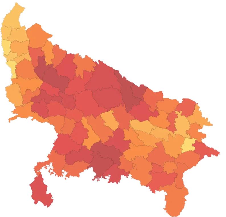
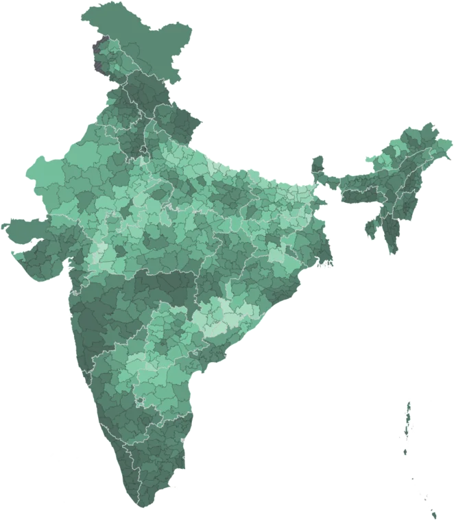
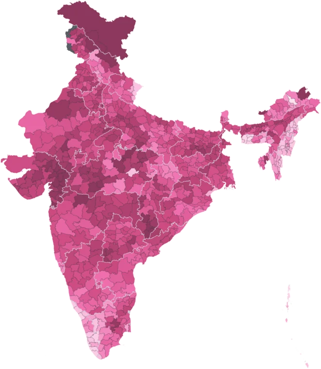
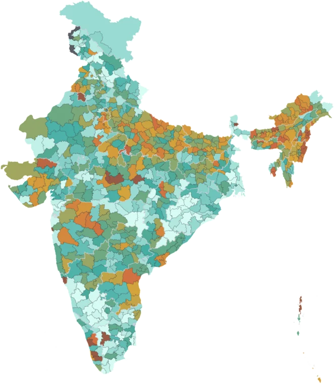
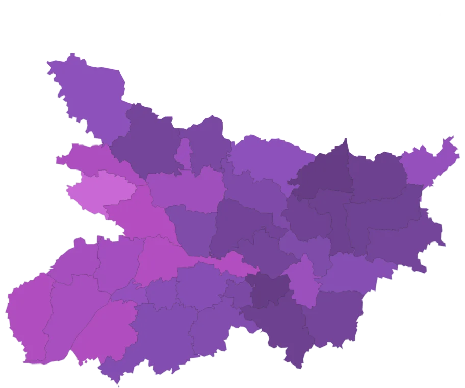
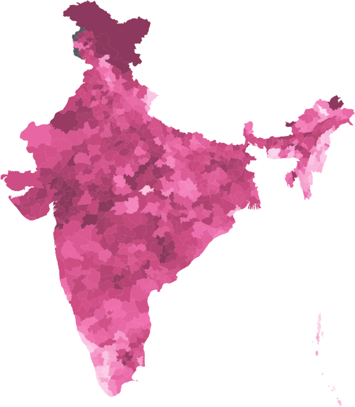
Publication-ready maps of India's public data.

Pick any map, choose a template and export. The legend, source credit and Survey of India boundaries are already on it.

Filled in for you. The legend, title and source come with the data, in the same classes and colours you saw on the map.

Change the classes to quantiles, natural breaks or your own, and choose from curated palettes.

Point at what matters. Click a district to name it, outline it or add a callout. Show readers exactly where to look.

Source credit, locked. Every map credits the publisher as its licence requires. The credit can’t be removed, so anyone who sees your map can trace the data to its source.

Copy a ready-made citation with the data year, access date and a link back to your map.

Write it in हिन्दी. Add titles, labels and callouts in Hindi. Conjuncts render correctly, including in PDF exports.

Automatic district matching. Upload your survey with a district column. Old, renamed and misspelt names are matched to official districts automatically, ready to map.

Start from my spreadsheetYour file stays in your browser.

Questions

Yes. Map Studio is free to use, and so is the Spatial India app. Every export includes the data source and a small “Made with Spatial India” credit. When paid plans launch, some advanced features will become part of them. We will announce any change before it takes effect.
Yes, under our Terms of Service, with the source and credit lines kept. Commercial licences, including for work delivered to a client, will be available when paid plans launch.
Yes. District, state and national boundaries come from Survey of India, and every dataset comes from a government source such as the Census of India, NFHS-5 and the RBI. Every map prints its source. See the full list on our datasets page.
No. Your file is read in your browser and never uploaded. We record only counts, such as the number of rows and matched districts, never the names or values in it.
Yes. You can write titles, notes, legends, labels and callouts in Hindi, and conjuncts display correctly in PDFs too. You can also edit the text of any label.
Not yet. The studio needs a desktop or laptop screen. Want it on your phone? Request it.

Make your first map.

Open Map StudioFree to use. Runs in your browser.

New datasets and studio features, by email.