Climate Vulnerability Index
District-level climate vulnerability assessment by DST/ICAR covering exposure, sensitivity, and adaptive capacity.
Published 2021 · 4 indicators · mapped to 808 districts · platform version 2026-09-20
New districts: inherited from parent district
Districts created after this source was published have no measurement of their own. For this source those values are inherited from parent district and flagged in the interface, so you can filter them out. See the methodology for why this method applies here and where it is weakest.
Indicators
Climate & Environment
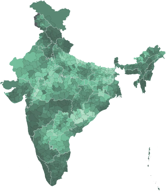
Climate Vulnerability Index
Map itComposite index of climate vulnerability combining exposure, sensitivity, and adaptive capacity. Higher values indicate greater vulnerability. From DST/ICAR 2021.
Caveat: Composite index — rankings depend on indicator weights. 8 states/UTs excluded (incl. Goa, Delhi).
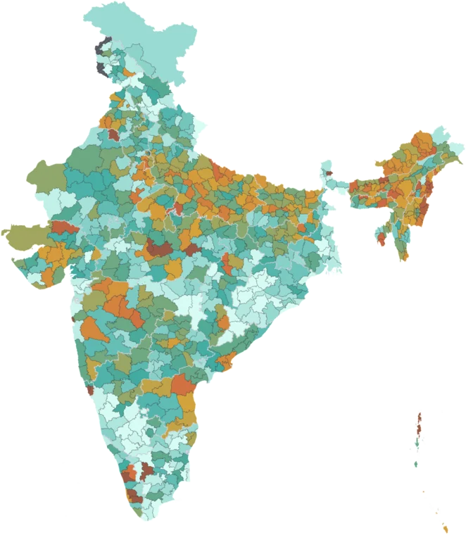
MGNREGA Days per Household
Map itAverage days of employment provided per household under MGNREGA in a year. Higher values indicate greater rural distress and demand for wage labor.
Caveat: Reflects both rural distress and state implementation capacity.
Food Grain Yield Variability
Map itCoefficient of variation in food grain yield. Higher values indicate less stable agricultural output and greater climate vulnerability.
Caveat: Coefficient of variation over historical time series. 8 states/UTs excluded.
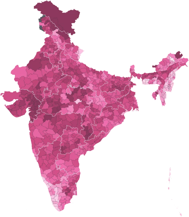
Infant Mortality Rate (CVI 2021)
Map itInfant deaths per 1,000 live births from the Climate Vulnerability Assessment. Different source and year from NFHS health indicators.
Caveat: Different source and year from NFHS-5. 8 states/UTs excluded (incl. Goa, Delhi).
Employment
MGNREGA Days per Household
Map itAverage days of employment provided per household under MGNREGA in a year. Higher values indicate greater rural distress and demand for wage labor.
Caveat: Reflects both rural distress and state implementation capacity.
Where this data is highest and lowest
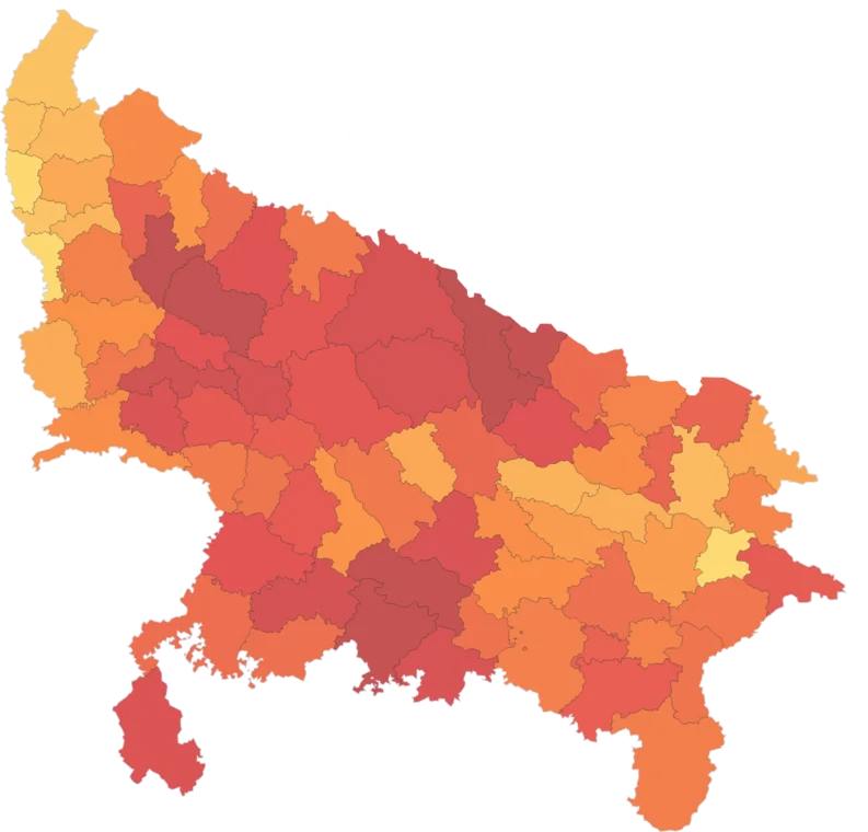
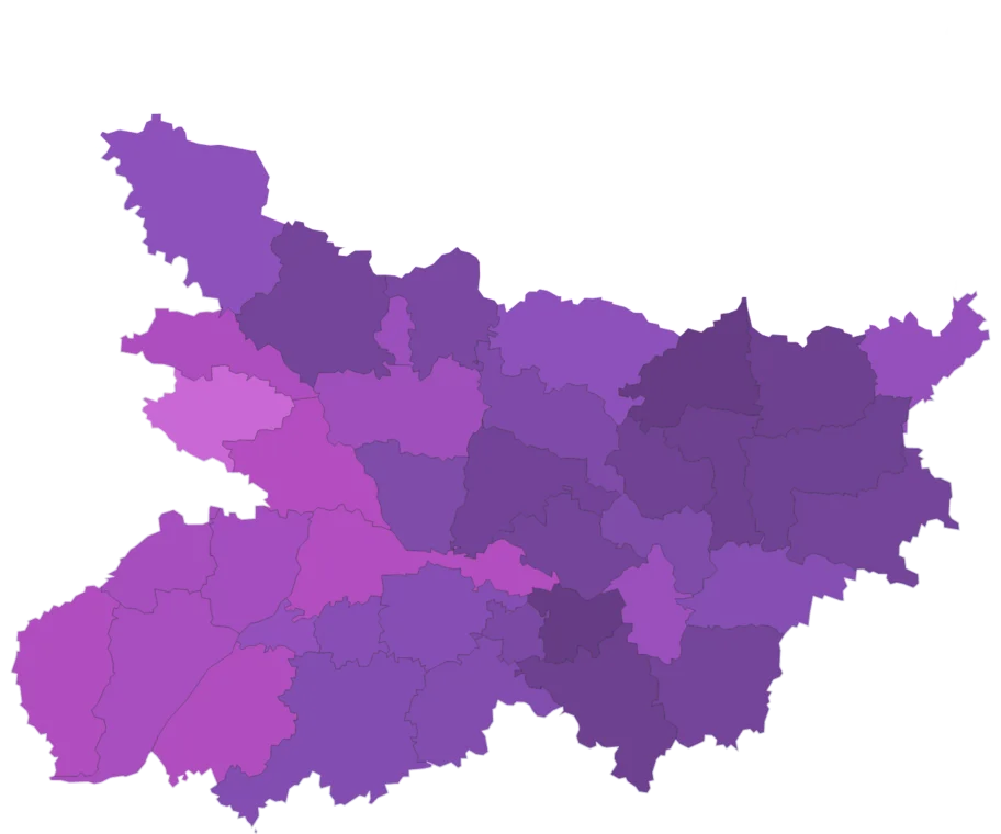
Across all 808 districts, by climate vulnerability index. Every district has its own page.
Using this data
Free to explore and export. Cite the original publisher for published figures and cite us as well where your result depends on the crosswalk. Per-layer limitations are listed on the caveats page.
The publisher requires this credit wherever their figures appear. Reproduce it as written: