Rural Health Statistics (MoHFW)
Functional public health facilities in each district as on 31 March 2022 — Sub Centres, Primary and Community Health Centres, Sub Divisional and District Hospitals — from the Ministry of Health and Family Welfare's Rural Health Statistics 2021-22, via NITI Aayog NDAP. Counts include urban PHCs and CHCs. Sub Centre rates and the IPHS shortfall use Census 2011 rural population.
Published 2021–22 · 4 indicators · mapped to 808 districts · platform version 2026-11-09
New districts: parent district's count split by rural population
Districts created after this source was published have no measurement of their own. For this source those values are parent district's count split by rural population and flagged in the interface, so you can filter them out. See the methodology for why this method applies here and where it is weakest.
Indicators
Health Coverage
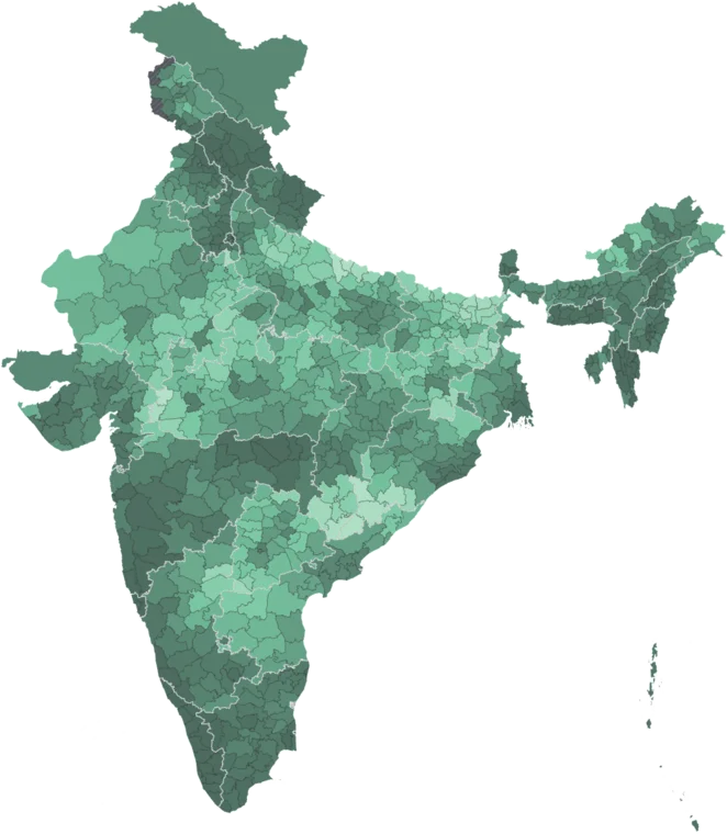
Sub Centres per Lakh Rural
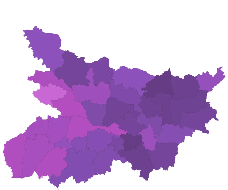
Map itFunctional Sub Centres per 1 lakh rural population, as on 31 March 2022. From MoHFW Rural Health Statistics 2021-22.
Caveat: Rate uses Census 2011 rural population; not shown where the district was over 90% urban in 2011. Districts absent from the 2021-22 release use their latest earlier year; districts formed since take a share of the parent's count by rural population. Dantewara, Devbhumi Dwarka and Ballia carry the source's "Unknown district" row for their state.
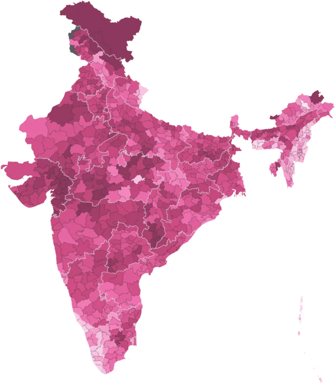
Sub Centre Shortfall
Map itShare of the Sub Centres the IPHS population norm requires that the district lacks, as on 31 March 2022. Norm: one per 5,000 rural people, one per 3,000 in tribal population. From MoHFW Rural Health Statistics 2021-22.
Caveat: Norm applied to Census 2011 rural population, with the tribal norm on the Scheduled Tribe population; hilly districts that are not tribal get the plain norm, so their shortfall reads low. 0 means at or above the norm. Not shown where the district was over 90% urban in 2011. Districts absent from the 2021-22 release use their latest earlier year; districts formed since take a share of the parent's count by rural population. Dantewara, Devbhumi Dwarka and Ballia carry the source's "Unknown district" row for their state.
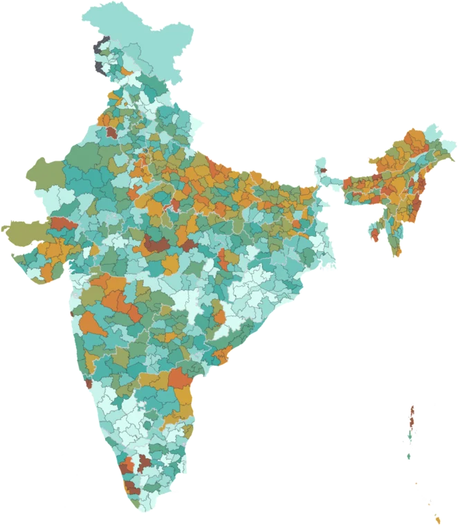
Primary Health Centres per Lakh
Map itFunctional Primary Health Centres (PHCs), rural and urban, per 1 lakh population, as on 31 March 2022. From MoHFW Rural Health Statistics 2021-22.
Caveat: Counts include urban PHCs; rate uses Census 2011 population. Districts absent from the 2021-22 release use their latest earlier year; districts formed since take a share of the parent's count by rural population. Dantewara, Devbhumi Dwarka and Ballia carry the source's "Unknown district" row for their state.
Community Health Centres per Lakh
Map itFunctional Community Health Centres (CHCs), rural and urban, per 1 lakh population, as on 31 March 2022. Sub Divisional and District Hospital counts alongside. From MoHFW Rural Health Statistics 2021-22.
Caveat: Counts include urban CHCs; rate uses Census 2011 population. Districts absent from the 2021-22 release use their latest earlier year; districts formed since take a share of the parent's count by rural population. Dantewara, Devbhumi Dwarka and Ballia carry the source's "Unknown district" row for their state.
Where this data is highest and lowest
Across all 808 districts, by sub centres per lakh rural. Every district has its own page.
Using this data
Free to explore and export. Cite the original publisher for published figures and cite us as well where your result depends on the crosswalk. Per-layer limitations are listed on the caveats page.
The publisher requires this credit wherever their figures appear. Reproduce it as written: