Town Amenities Census 2011
Inventory of civic amenities — hospitals, schools, and banking facilities - in census towns.
Published 2011 · 3 indicators · mapped to 808 districts · platform version 2026-09-20
New districts: area-proportional estimate
Districts created after this source was published have no measurement of their own. For this source those values are area-proportional estimate and flagged in the interface, so you can filter them out. See the methodology for why this method applies here and where it is weakest.
Indicators
Health Coverage
Hospitals & Health Centres
Map itGovernment hospitals, health centres, and dispensaries from the 2011 Census Town Amenities.
Caveat: Urban areas only — rural facilities not counted.
Infrastructure
Hospitals & Health Centres
Map itGovernment hospitals, health centres, and dispensaries from the 2011 Census Town Amenities.
Caveat: Urban areas only — rural facilities not counted.
Schools
Map itSchools (primary through senior secondary) from the 2011 Census Town Amenities.
Caveat: Urban areas only — rural schools not counted.
Banking
Map itBanks (nationalised, private, co-operative) from the 2011 Census Town Amenities.
Caveat: Urban areas only — rural branches not counted.
Where this data is highest and lowest
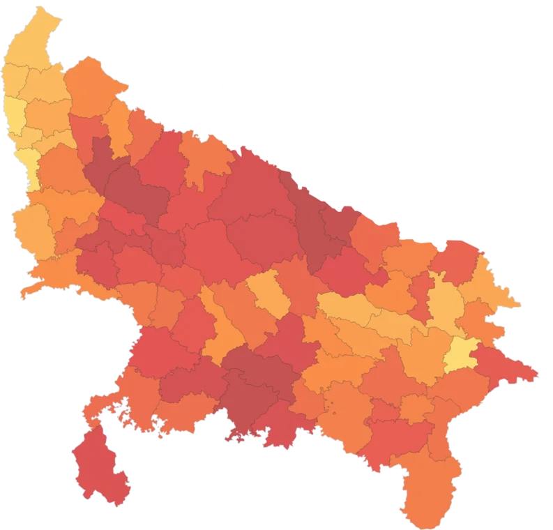
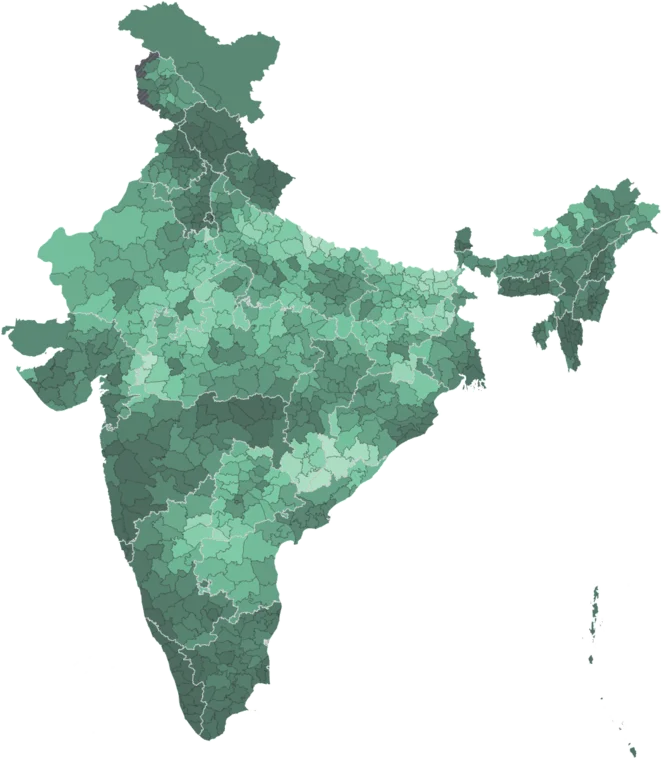
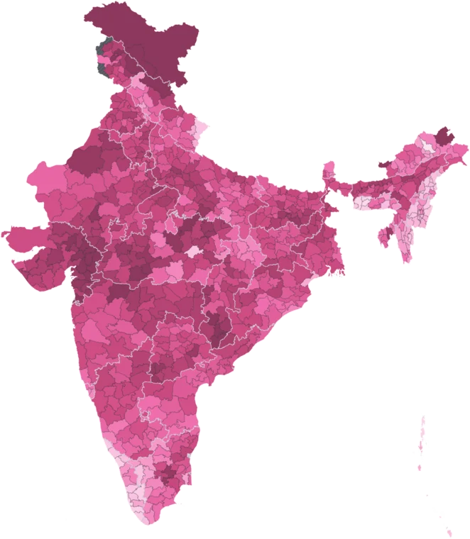
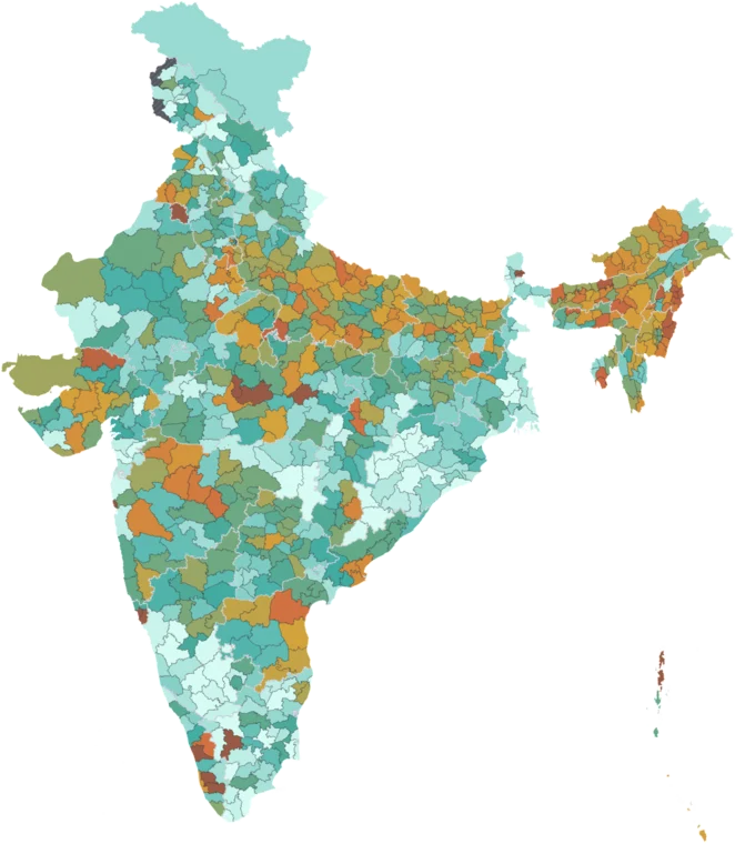
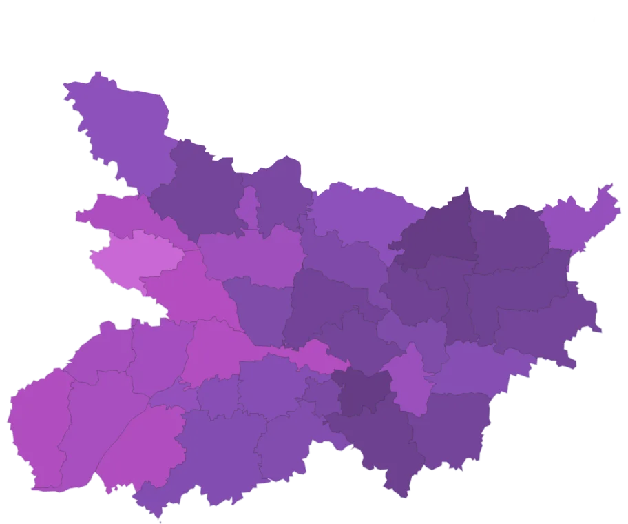
Across all 808 districts, by hospitals & health centres. Every district has its own page.
Using this data
Free to explore and export. Cite the original publisher for published figures and cite us as well where your result depends on the crosswalk. Per-layer limitations are listed on the caveats page.
The publisher requires this credit wherever their figures appear. Reproduce it as written: