VIIRS Night-time Lights (EOG)
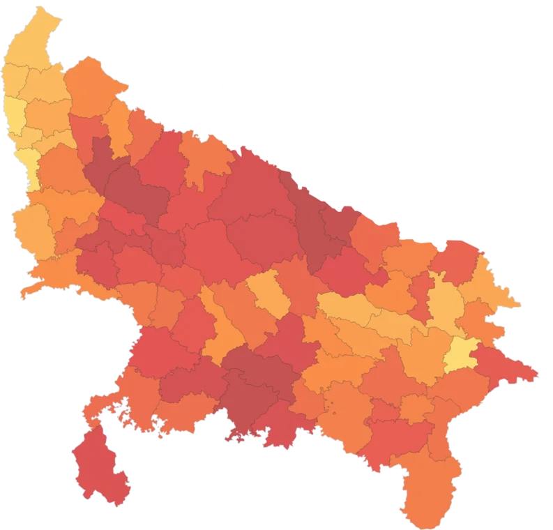
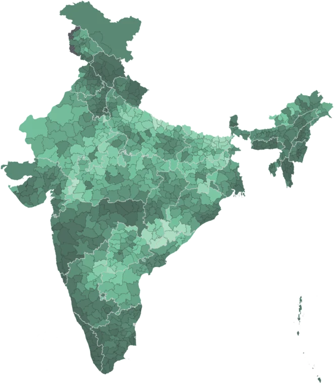
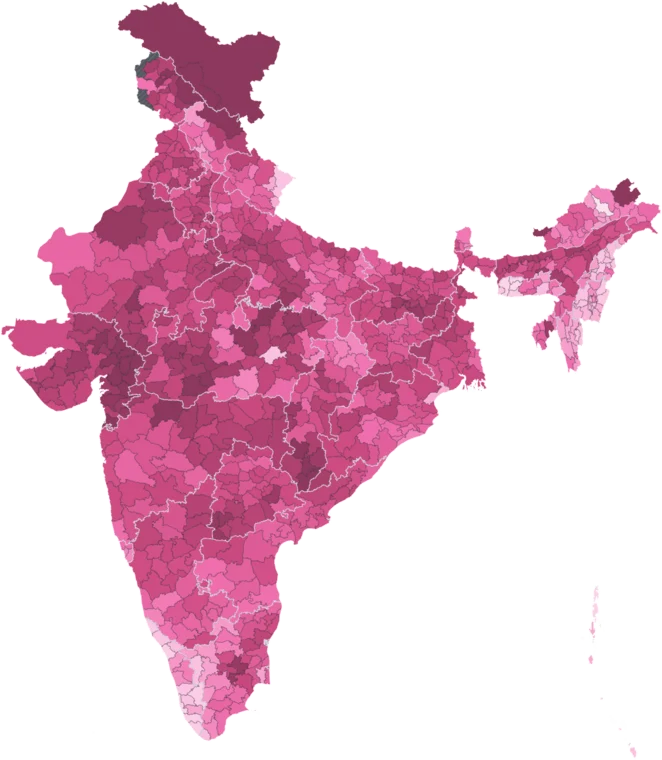
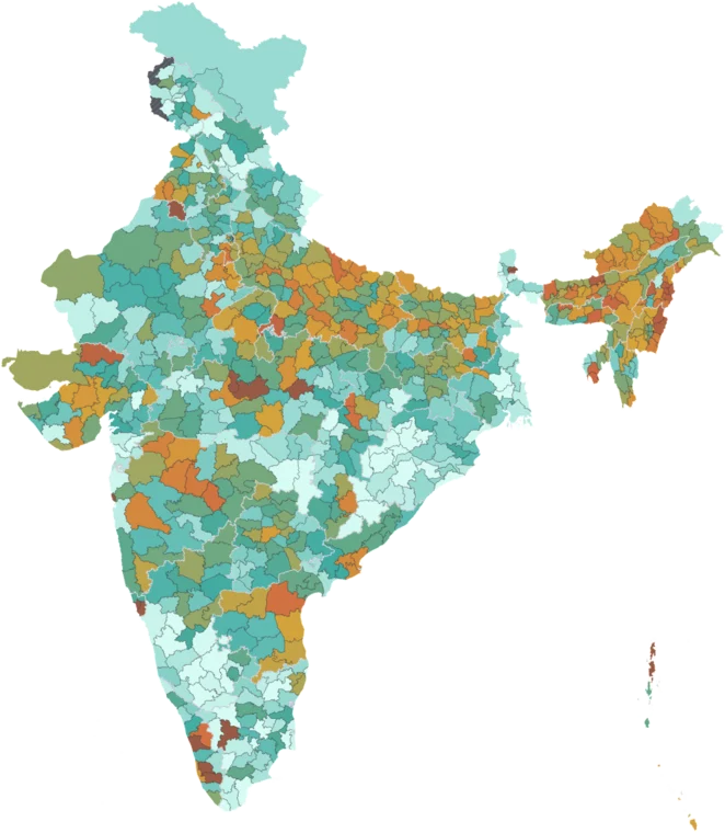
Satellite-measured night-time radiance, used as a proxy for economic activity where district-level GDP does not exist. Two epochs: 2012 and 2024.
Published 2012 & 2024 · mapped to 808 districts · platform version 2026-09-20
Get notified when a new VIIRS Night-time Lights (EOG) indicator drops.
This source ships as a raster overlay rather than as district-level indicator columns, so it has no indicator table. Toggle it on the map to view it.
Make a publication-ready map of VIIRS data
Source credit, official boundaries and legend already in place. Export SVG, PNG or PDF.
Using this data
Free to explore and export. Cite the original publisher for published figures and cite us as well where your result depends on the crosswalk. Per-layer limitations are listed on the caveats page.
The publisher requires this credit wherever their figures appear. Reproduce it as written:
Earth Observation Group, Payne Institute for Public Policy, Colorado School of Mines, 2012 and 2024, VIIRS Nighttime Lights annual composite (VNL V2), https://eogdata.mines.edu/products/vnl/. Published under CC BY 4.0: https://creativecommons.org/licenses/by/4.0/. Not a NASA product — the annual composites are EOG’s derived product.