Global Human Settlement Layer — Built-up Surface
Built-up surface from Landsat and Sentinel-2 imagery, 1975–2020 in five-year epochs at 100 m, summed over each district. Published by the European Commission Joint Research Centre (GHS-BUILT-S R2023A).
Published 1975–2020 · 4 indicators · mapped to 808 districts · platform version 2026-10-25
Indicators
Urbanisation
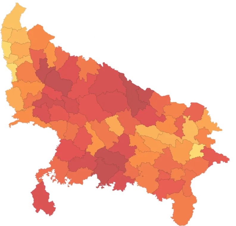
Built-up Area Share
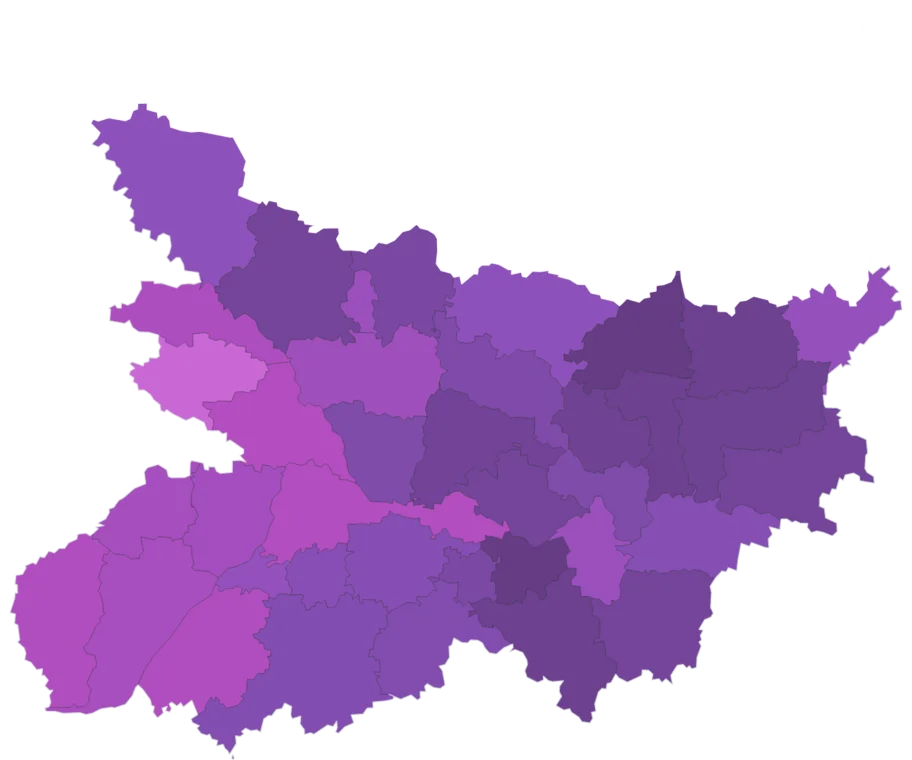
Map itShare of the district's land covered by buildings and other built-up surface in 2020, from the JRC Global Human Settlement Layer at 100 m.
Caveat: 2020 is interpolated by GHSL between its 2018 Sentinel-2 and earlier Landsat inputs. Built-up surface includes roofs and paved ground, not only homes.
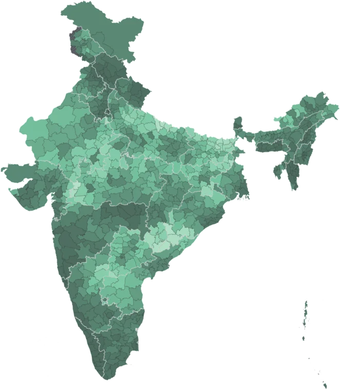
Built-up Area
Map itBuilt-up surface inside the district in 2020, in square kilometres, from the JRC Global Human Settlement Layer at 100 m.
Caveat: Tracks district size as much as urbanisation — compare with Built-up Area Share. 2020 is interpolated by GHSL.
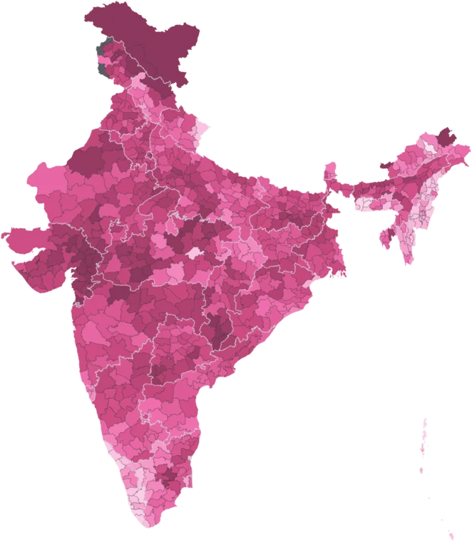
Built-up Area Added, 1990–2020
Map itBuilt-up surface added inside the district between 1990 and 2020, in square kilometres, from the JRC Global Human Settlement Layer.
Caveat: 1990 is an observed Landsat epoch; 2020 is interpolated. GHSL built-up never decreases, so this is never negative.
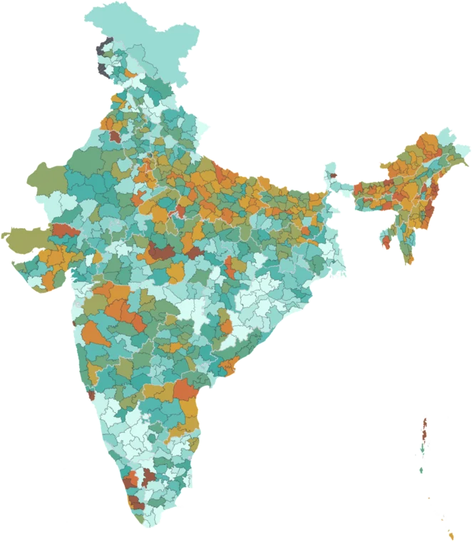
Built-up Growth, 1990–2020
Map itPercent growth in built-up surface between 1990 and 2020, from the JRC Global Human Settlement Layer. Blank where the district had under 1 km² built-up in 1990.
Caveat: Blank below 1 km² of built-up in 1990, where percentages run to extremes on a tiny base. 2020 is interpolated by GHSL.
Using this data
Free to explore and export. Cite the original publisher for published figures and cite us as well where your result depends on the crosswalk. Per-layer limitations are listed on the caveats page.
The publisher requires this credit wherever their figures appear. Reproduce it as written: